

Blowhole Beach
EasyThe shortest of the four and the one most guests do first. Naiko calls it their most popular trail, and the one that suits young children.
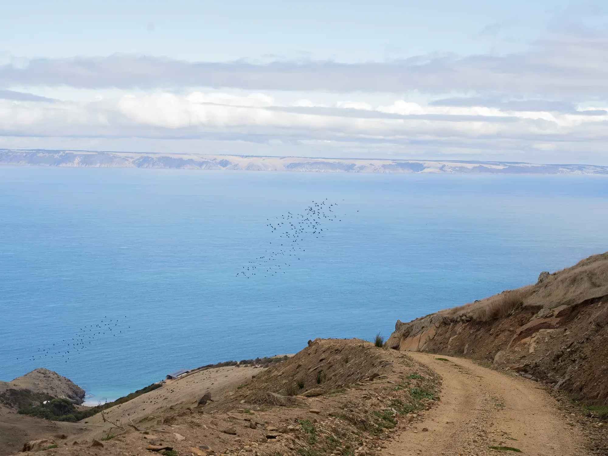
Deep Creek
The walks
Open rolling hills, forests of native trees, grass trees thought to be around fifteen hundred years old, lush gullies and rugged coastline. Naiko has never published the distances, so neither have we — the Information Compendium in the house has the route descriptions.
The shortest of the four and the one most guests do first. Naiko calls it their most popular trail, and the one that suits young children.

Less taxing than the two long ones and no less interesting — the walk that explains why there is a Cornish mining town in the next valley.

Out towards the boundary with Talisker Conservation Park. There are remains of exploratory shafts and tunnels on Rarkang itself, visible from this trail.

The one for keen walkers. Open rolling hills, forests of native trees, the ancient grass trees, lush gullies and the rugged coastline, in one circuit.
A diagram, not a survey. Naiko has never published the trail geometry, and drawing an invented route across a real property would be worse than drawing nothing. This shows what connects to what.
The Heysen Trail crosses the property on its way from Cape Jervis to the Flinders Ranges, 1,200 kilometres north. Walkers on it are the only people you are likely to see.
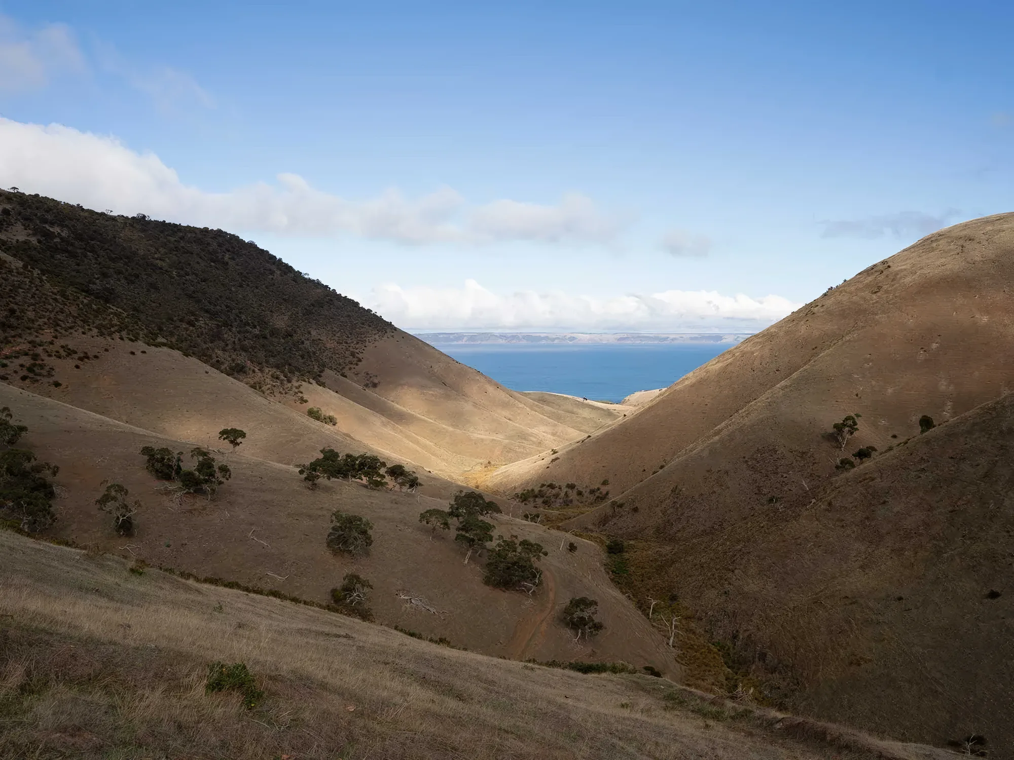
Naiko's own advice, and it is not a formality — this is exposed coastline ninety minutes from anywhere, and a clear morning is no promise about the afternoon.
Take with you

And one that carries on
It begins at Cape Jervis, a short drive from the retreat, and runs twelve hundred kilometres north to the Flinders Ranges. It crosses Rarkang on its way out of the peninsula, then turns inland past Kings Beach and runs close to the west of Jagger Road — which is to say it passes both Naiko properties before it is properly started.
The Heritage Trail below the Villa at Encounter Bay is the easy coastal equivalent, and will take you to Kings Beach on foot.

Naiko Retreat
333 Rarkang Road, Deep Creek SA 5204
Under two hours from Adelaide — 114km, the last 6km unsealed
Open in Maps
They are close enough that people do both in a week and far enough apart that they are not the same holiday. The Retreat is at the end of the peninsula with the last six kilometres unsealed. The Villa is ten minutes above Victor Harbor, with a bakery, a pub and a beach in walking distance of the car.
333 Rarkang Road, Deep Creek SA 5204
Under two hours from Adelaide — 114km, the last 6km unsealed
Open in Maps28 Jagger Road, Encounter Bay SA 5211
About 80 minutes from Adelaide
Open in MapsHelivista fly in from Adelaide Airport, and Off Piste 4WD will collect you and stop in McLaren Vale on the way down.


